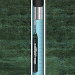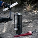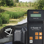
5 Tips For Getting The Most Accurate Readings From A Sonic Water Level Meter
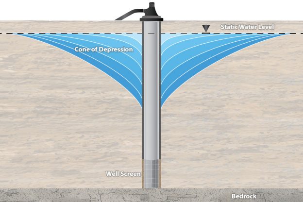
The Solinst Sonic Water Level Meter works by a probe at surface transmitting a low frequency sound wave into a pipe, tube, or well, and measuring the time it takes for the pulse to return after making contact with water. The depth to water is calculated using the speed of sound and time. The depth to static water level is displayed on the LCD screen of the control unit after just a few seconds… Continue Reading »