Efficient management of groundwater and surface water resources is vital to sustaining agriculture and irrigation systems in Punjab Province, Pakistan’s agricultural heartland. Understanding both groundwater behaviour and rainfall trends is crucial for the Irrigation Department to develop strategies for sustainable water use, recharge enhancement, and irrigation planning across the province.
Project Overview and Objective
The Irrigation Department of Punjab Province launched an initiative to establish a real-time, automated network for monitoring water levels and rainfall. Previously, groundwater and rainfall data were collected manually, requiring extensive fieldwork and significant human resources. This process was both time-consuming and costly.
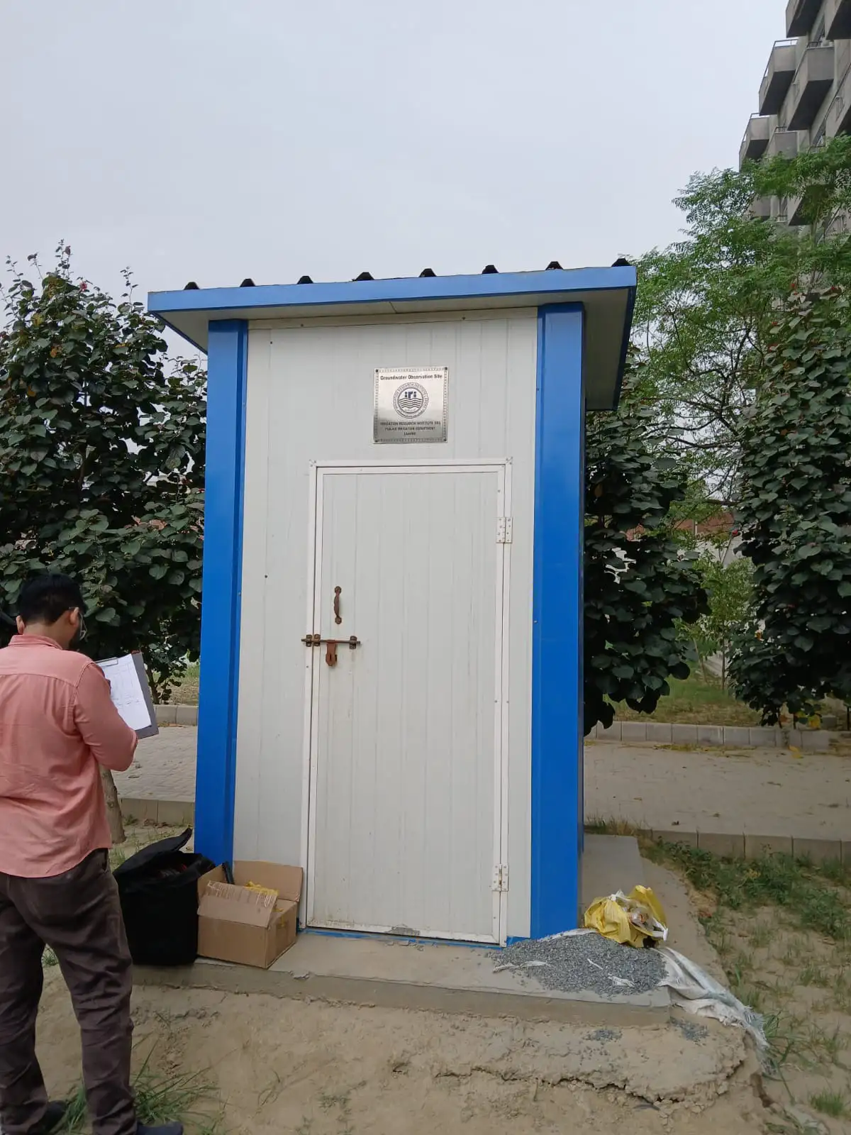
To streamline data collection and improve decision-making efficiency, a Solinst-based automated monitoring system was installed at 50 strategically distributed monitoring stations across Punjab. Each site continuously monitors groundwater level, temperature, conductivity, and rainfall, and transmits live data to the department’s central office via the GSM cellular network.
This system enables the Irrigation Department to:
- Monitor real-time changes in groundwater and rainfall
- Reduce manual fieldwork and resource use
- Make data-driven decisions to enhance groundwater recharge through injection wells or dug wells where needed
Integrated Solinst Monitoring Solution
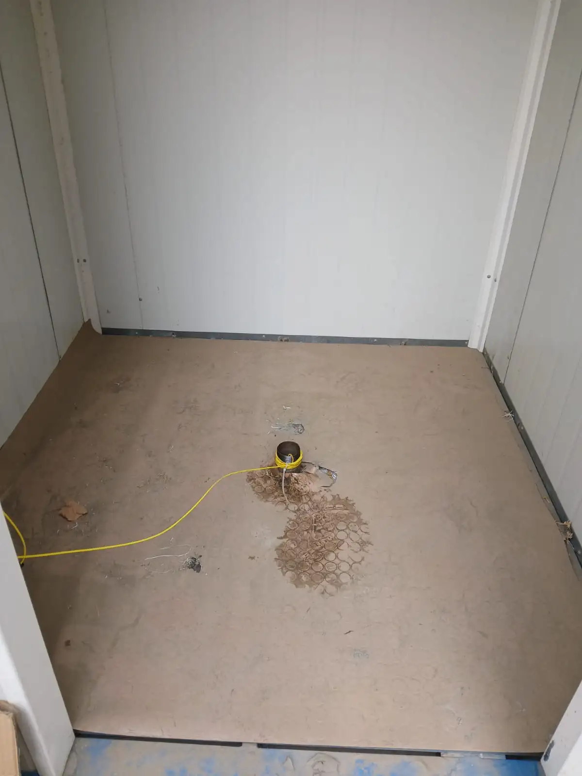
Each monitoring station is equipped with a complete Solinst integrated system, comprising:
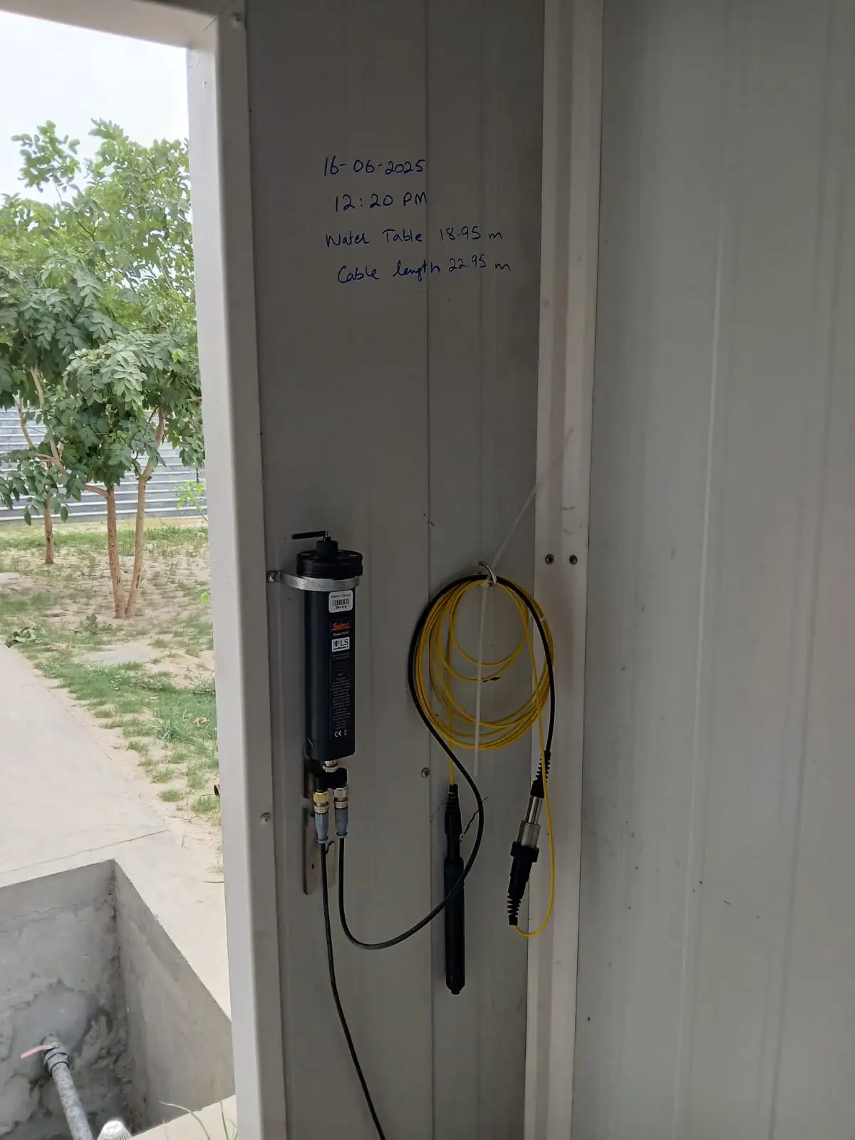
Levelogger 5 LTC: A high accuracy datalogger that records water level, temperature, and conductivity, providing continuous insight into groundwater fluctuations, aquifer responses, and water quality variations.
Rainlogger 5 with Rain Gauge Bucket: A precision rainfall monitoring device that records each rainfall event through the tipping-bucket mechanism. The Rainlogger 5 seamlessly integrates with the LevelSender to provide simultaneous rainfall data alongside groundwater readings.
LevelSender 5 Telemetry System: A compact, GSM-based telemetry unit that transmits both groundwater and rainfall data in near real-time to the central office. This eliminates the need for manual site visits and ensures uninterrupted data flow even from remote locations.
LevelSender Software (central office platform): A user-friendly, centralized data management system that receives, stores, and visualizes all incoming data from the network of LevelSender units. The software enables engineers to view real-time graphs, compare rainfall and groundwater correlations, and set up automated alerts.
Province-Wide Installation and Simultaneous Data Collection
A total of 50 complete Solinst monitoring stations have been installed simultaneously across different regions of the Punjab Province. These stations cover diverse hydrogeological zones — from canal command areas to groundwater-depleted regions — providing a comprehensive view of provincial water dynamics.
All 50 stations are interconnected via GSM telemetry, transmitting live rainfall and groundwater data concurrently to the Irrigation Department’s central office. The synchronized dataset enables real-time comparison between rainfall intensity and groundwater response, providing valuable insights into recharge potential, aquifer lag time, and local infiltration efficiency.
System Functionality and Key Benefits
Once deployed, each station autonomously records water level, temperature, conductivity, and rainfall at user-defined intervals. The LevelSender 5 automatically transmits this data to the LevelSender Software, allowing for real-time monitoring and historical trend analysis.
Key benefits of this integrated system include:
Real-Time Data Access: Simultaneous rainfall and groundwater readings available instantly at the central office.
Operational Efficiency: Eliminates the need for manual field visits, saving time, labour, and fuel.
Improved Groundwater Management: Enables proactive planning for recharge operations, irrigation scheduling, and flood management.
Integrated Hydrological Understanding: Correlates rainfall data with groundwater level changes to assess recharge efficiency.
Reliable and Expandable System: Designed for long-term, unattended operation with the option to scale up the network across additional sites.
Achieving Efficiency and Sustainability Across the Province
The successful deployment of 50 fully integrated Solinst monitoring stations — leveraging the Levelogger 5 LTC, Rainlogger 5, and LevelSender 5 — marks a major advancement in the Irrigation Department of Punjab’s capability to manage its water resources effectively.
This automated water monitoring telemetry network delivers continuous, simultaneous groundwater and rainfall data across the province, eliminating the inefficiencies and costs associated with manual monitoring. By providing real-time, correlated hydrological data, the system empowers the Irrigation Department to make accurate and informed decisions. The result is proactive, data-driven planning for irrigation scheduling, recharge initiatives, and flood mitigation, ultimately securing the long-term groundwater water resources vital for Punjab’s sustained agricultural prosperity.
Solinst thanks Muzammil Sanghani of Al Ghazi Group of Companies, Solinst Exclusive Distributor in Pakistan, for providing the details of this project.